Category: By State

0

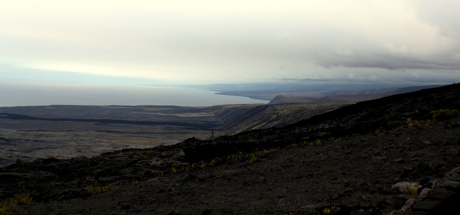
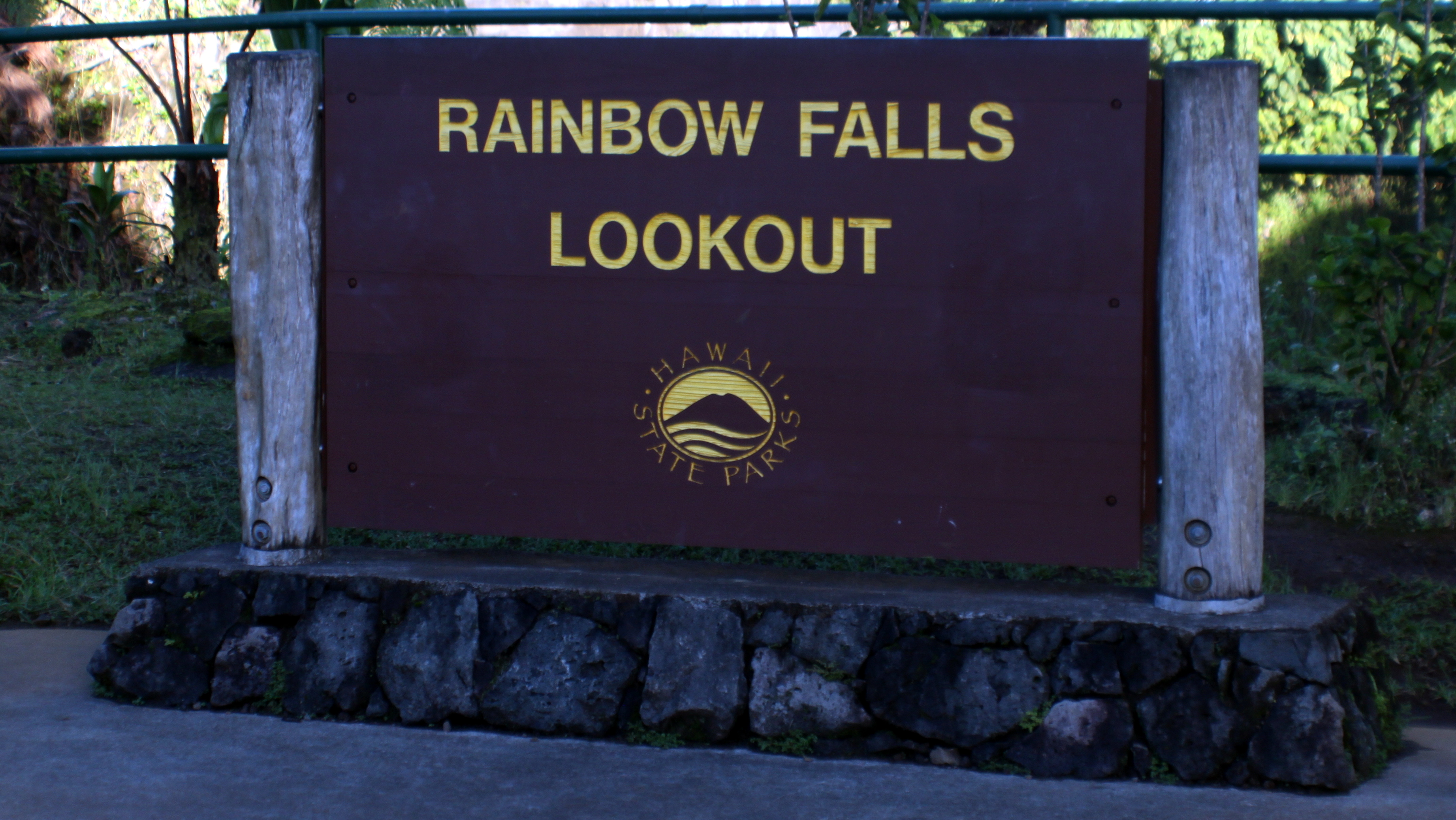
Rainbow Falls State Park

Before leaving the Hilo side of the Island I had to visit to super-easy-to-visit Rainbow Falls State park which features… well, Rainbow Falls which has an 80-foot drop and is known for the rainbows that are formed in the surrounding mist (not for me this day). It is easily within...

3

Volcanoes National Park – Kipukapuaulu Trail

The Kipukapuaulu Trail is an easy 1.2 mile hike through the “Bird Park” portion of Volcanoes National Park.  It is an area of older vegetation surrounded by more recent lava flows from Mauna Loa. I was surprised at the trailhead signage stating that 2-3 hours were required to hike this...

1

Wild Ginger Hostel

After four days camping, hiking, and exploring I was desperately in need of a shower, so the Wild Ginger Hostel in Hilo became my second ever hostel visited in my life. The original plan was to simply pay for a shower and camp at a beach not far out of...

0

Volcanoes National Park – Chain of Craters Road

Chain of Craters Road is a 19-mile winding paved road through the East Rift and coastal area of the Hawaii Volcanoes National Park. The original road, built in 1928, connected Crater Rim Drive to Makaopuhi Crater. The road was lengthened to reach the tiny town of Kalapana in 1959. The...

0

Volcanoes National Park – Kilauea Iki Trail

Kilauea Iki is a collapse crater adjacent to the main summit caldera of the active volcano, Kilauea. Beginning in August of 1959, geologists at the Hawaiian Volcano Observatory began detecting a swarm of deep earthquakes on seismographs located at the observatory. By early October, measurements indicated that the summit of...

0

Volcanoes National Park – Kilauea Volcano

Kīlauea is a currently hyperactive shield volcano in the Hawaiian Islands, and the most active of the five volcanoes that together form the island of Hawaiʻi, and, perhaps, the most active volcano on earth.  – Wikipedia If I had read up on Kilauea before my visit, maybe I would have...

0

Volcanoes National Park – Thurston Lava Tube

Thurston Lava Tube, also called Nahuku, is located in the rain forest ecological zone of the National Park. The abundant rainfall contributes to the lush growth of the forest canopy trees and the understorey vegetation. The hike inside lava tube itself is short and a bit to sanitized. With the...

2

Punalu’u Black Sand Beach

Punalu’u Black Sand Beach, on the south-east corner of the Big Island, was a scheduled stop to camp for a night. If it were not for the Hawaii County web site not allowing me to make a payment I would have. Instead, I drove up a path across the street...

2

South Point

Ka Lae (Hawaiian for “the point”), also known as South Point, is the southernmost point of the Big Island of Hawaii and of the 50 United States. South Point marks the most south I have ever been on the globe (held previously by my 2005 trip to Cancun). This is...

0

Manuka State Wayside

The Manuka State Wayside Park is a state park located between Kona and Volcanoes National Park. To us mainlanders, it is a rest-area, but here it is a state park complete with it’s very own hiking trail which leads to a pit crater. That’s pretty much about it, a trail...